Day 3 of our Holy Land pilgrimage begins much like Day 2. Starbucks and off to the Kings Highway. This time our destination is Mount Nebo and the nearby city of Madaba.
MOUNT NEBO
As the Book of Deuteronomy is coming to an end, we know that the 40 years the People of Israel spent wandering in the desert is coming to an end. Moses has led his people to the Promised Land, but is not allowed to enter. Joshua has been commissioned as the new leader of the Israelites and will lead them on.
In the final chapter of Deuteronomy, Chapter 34, the Lord leads Moses to a high place, Mount Nebo, and shows him an impossible sight – all of the land of Israel.
Then Moses went up from the plains of Moab to Mount Nebo, the peak of Pisgah which faces Jericho, and the LORD showed him all the land—Gilead, and as far as Dan, all Naphtali, the land of Ephraim and Manasseh, all the land of Judah as far as the Western Sea, the Negeb, the plain (the valley of Jericho, the City of Palms), and as far as Zoar.
The LORD then said to him, This is the land about which I promised on oath to Abraham, Isaac, and Jacob, “I will give it to your descendants.” I have let you see it with your own eyes, but you shall not cross over.
So there, in the land of Moab, Moses, the servant of the LORD, died as the LORD had said; and he was buried in a valley in the land of Moab, opposite Beth-peor; to this day no one knows the place of his burial.
Moses was one hundred and twenty years old when he died, yet his eyes were undimmed and his vigor unabated.
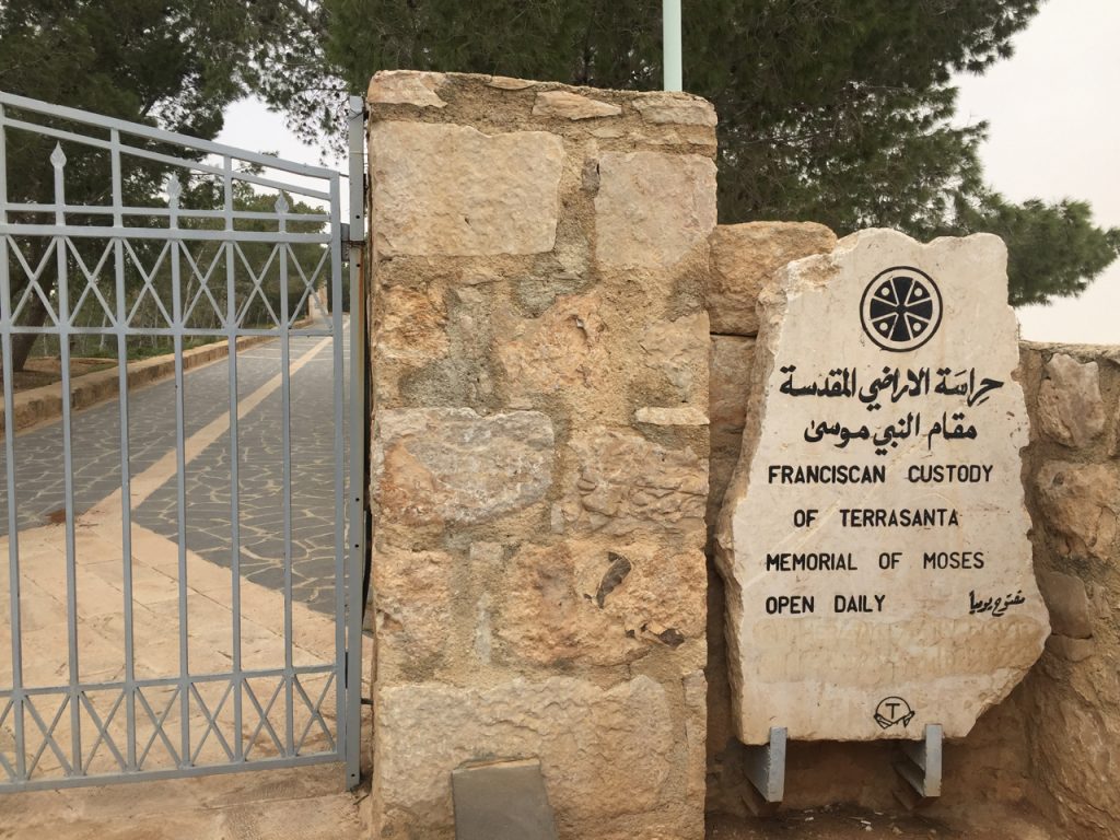
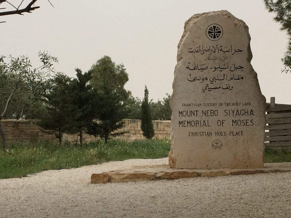
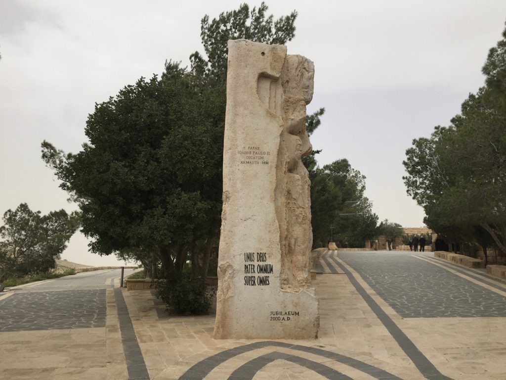
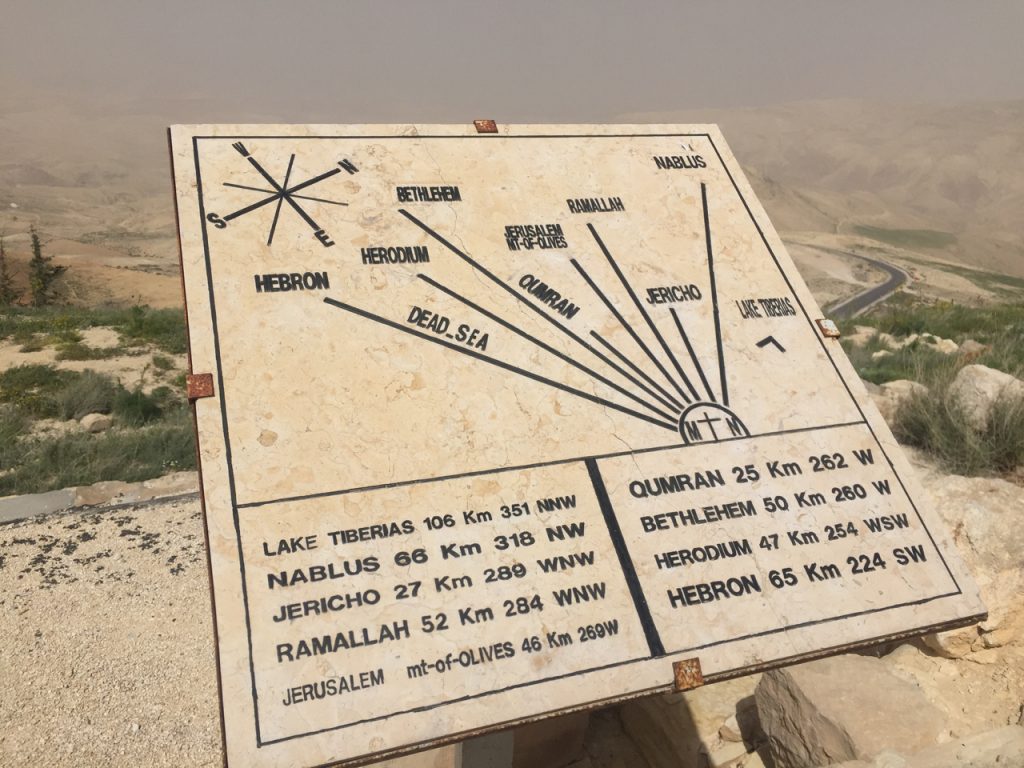
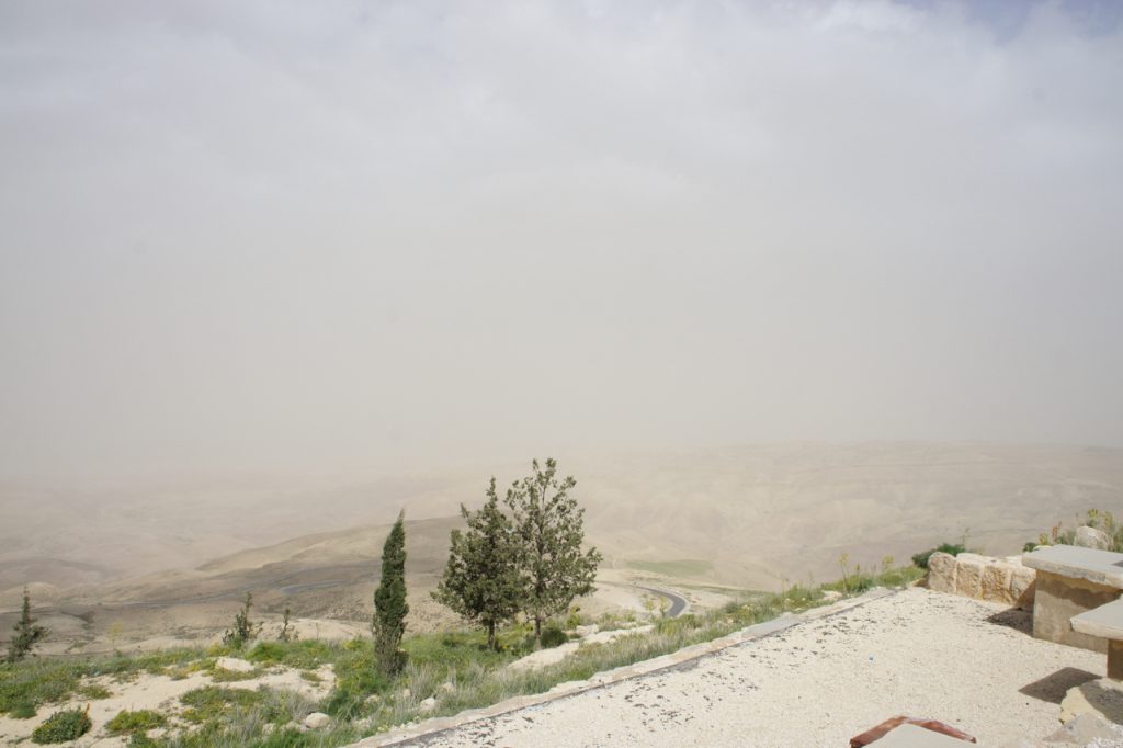
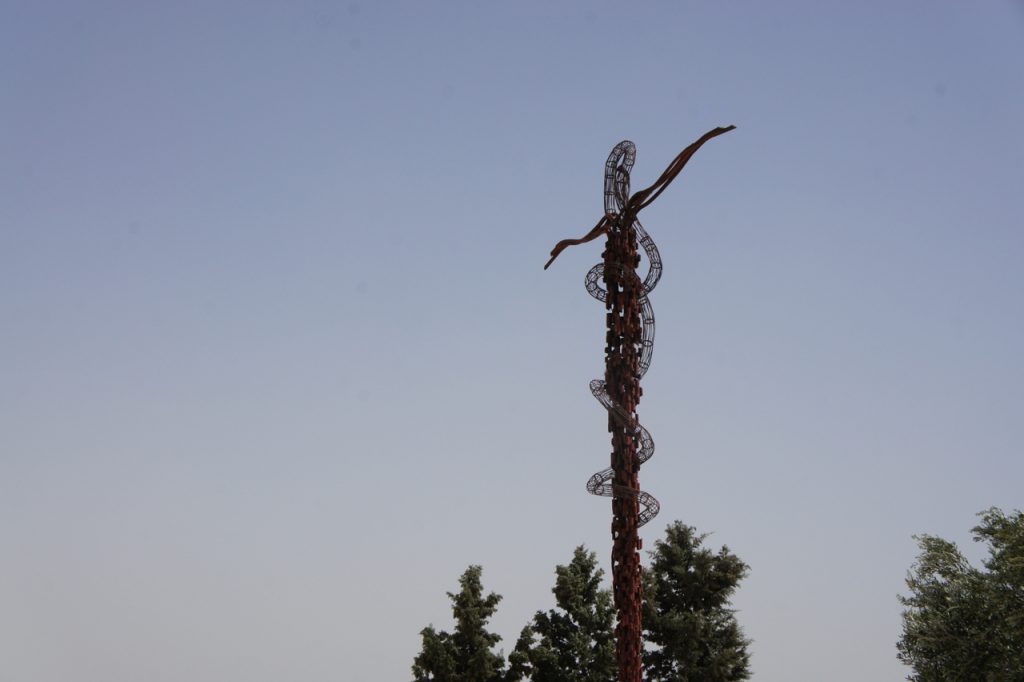
Our trip to the top of Mount Nebo was not as spectacular as that of Moses and the People of Israel. The peak of the mountain is now a Memorial of Moses, administered by the Franciscan Custody of Terrasanta. A peaceful place from which on a clear day you can see Galilee and even Jerusalem.
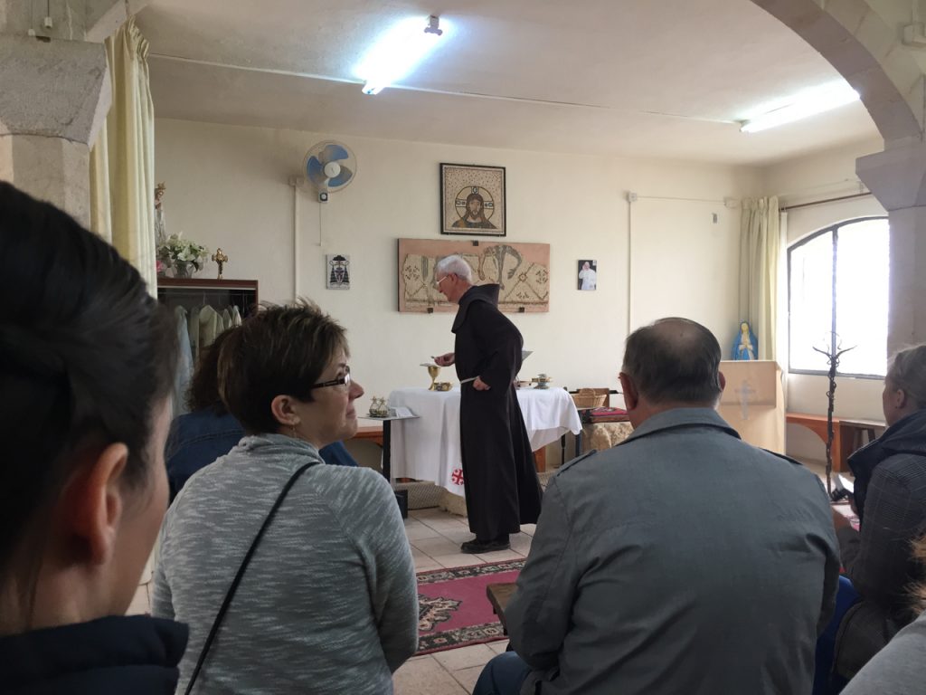
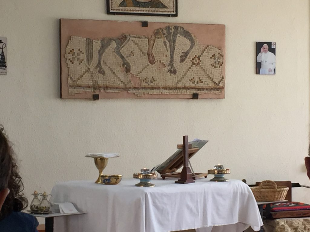
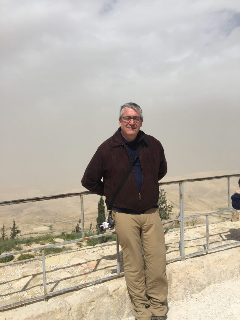
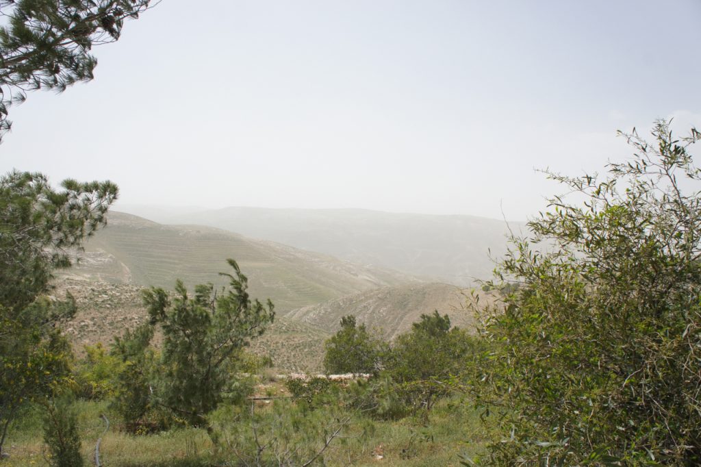
Our day, beset by a dust storm, was not one of those clear days. Still it was moving to be there, to celebrate Mass with the Irish Franciscan priest who makes his home there, and to peer out from the same locale as Moses. Perhaps not the exact spot, but in my mind’s imagination, I could sense all the tribes of Israel arrayed around, waiting for the long promised land of milk and honey and an end to their exile.
MADABA
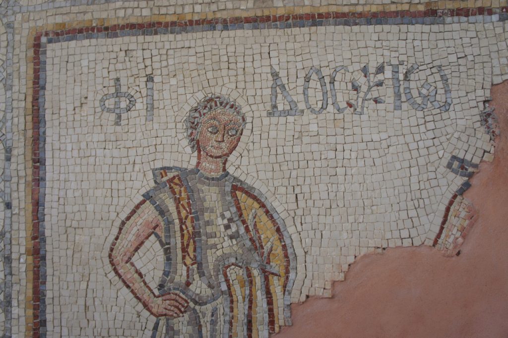
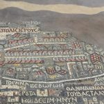
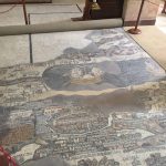
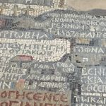
After visiting Mt. Nero, we traveled to the nearby city of Madaba. An ancient city, dating from the Bronze Age, it was important during both the Roman and Byzantine periods. There we visited the Greek Orthodox Church of St. George, famous for the mosaic map on the floor of the nave. Originally a Byzantine Church, built during the reign of emperor Justinian, AD 527-565, the map is the oldest existing map of the Holy Land known today.
The map, originally over 2 million pieces of stone, has helped archeologist locate important religious sites throughout Israel, and gives details of Jerusalem after its destruction in AD 70 and its rebuilding.
THREE HANDED VIRGIN
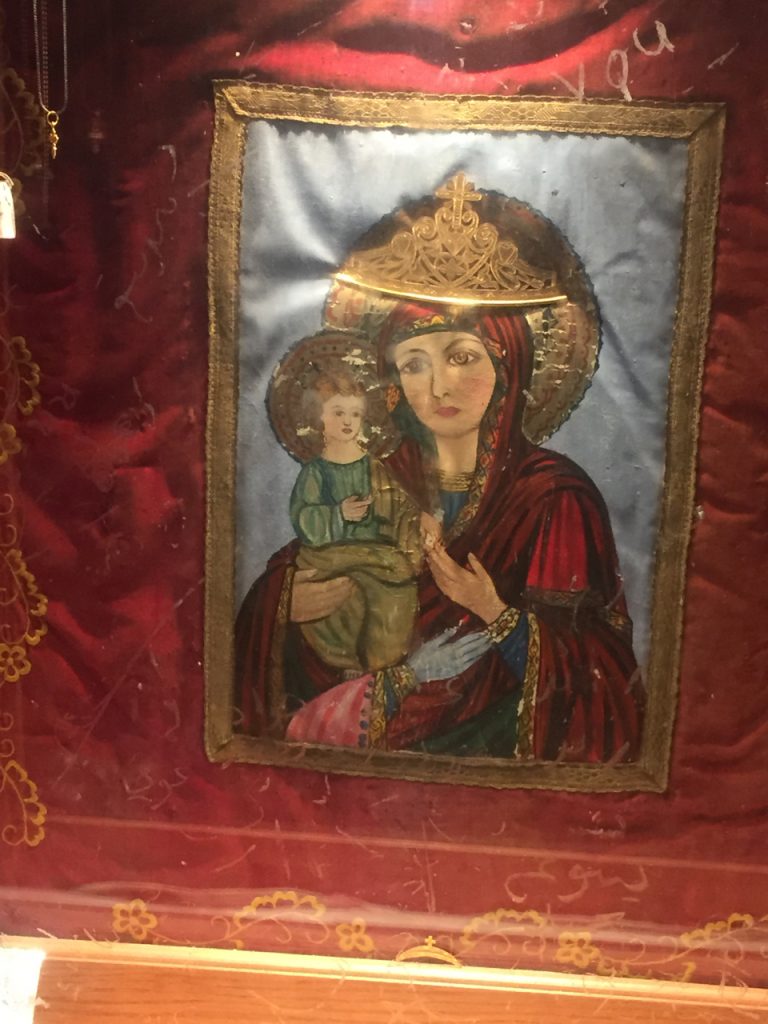
One last thing before leaving the Church of St. George. Down in the crypt of the church, we were shown this image of the Theotokos – Mary, Mother of God. I couldn’t find any authoritative sources to explain this image, but apparently sometime around 1976, this image, which was displayed in full public view, was discovered to have grown a third blue hand.
I don’t remember the explanation we were given, but rather than potentially pass along false explanations, let me just say that this image has been called miraculous and is venerated as a place of healing. If I come across something more definitive, I’ll be sure to update this.
Next stop: Petra and Wadi Rum

The third hand: http://dce.oca.org/assets/templates/bulletin.cfm?mode=html&id=32
Interesting! That explains why the third hand is on the image, but not how since it didn’t originally have one. A miraculous addition in support of iconography and thus Christianity in a muslim country, perhaps? Cool.